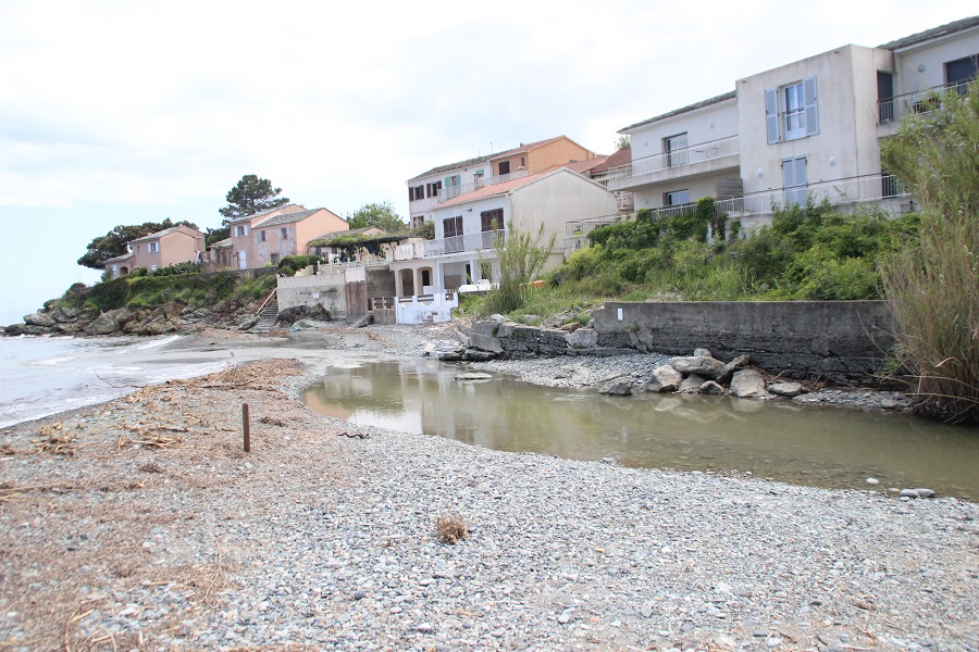
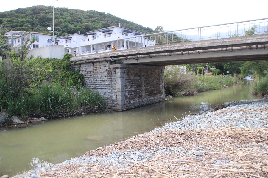
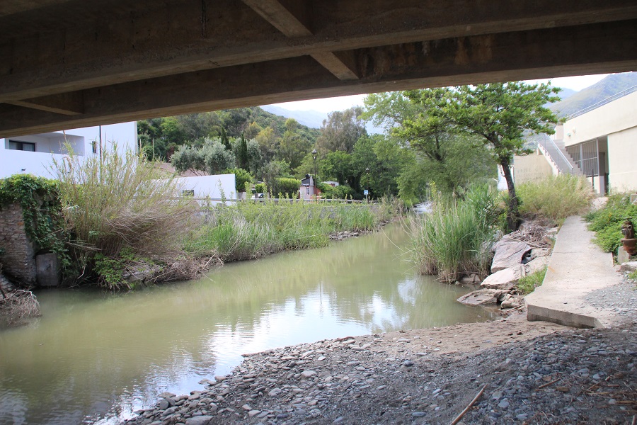
FR833COR023 - Estuaire du Poggiolo
Wetland data
Basic information
| Wetland location: |
Marine / Coastal |
| Wetland type: |
Natural |
| Wetland area: |
1.0 Ha |
| Hydrological interaction: |
- |
| Water salinity: |
Brackish (0.5 - 18.0 g/l) |
| Type of fresh water input: |
Torrent / Stream - Unconfined aquifer |
| Surface water runoff |
Outflow from lakeshore or river |
| Open water area (%): |
76 - 95 |
| Hydroperiod: |
Permanent |
Geographic information
| Region: |
Corsica |
| Sub region: |
Bastia |
| Island: |
Corsica |
| Municipality: |
Santa-Maria-di-Lota |
| Longitude: |
9.458770 East |
| Latitude: |
42.740920 North |
Wetland condition
| Wetland status (MEDWET): |
4 - Original habitats / landform highly modified (<10% untouched) |
Ramsar wetland type
| Type |
Coverage (%) |
| F -- Estuarine waters; permanent water of estuaries and estuarine systems of deltas |
> 95 |
Property status
Protection statuses
| Protection status category |
Protection status subcategory |
Area's name |
Code |
Coverage area (%) |
Legislation |
| National/Regional Protection |
Marine natural Park |
Cap Corse et Agriate |
|
3 |
L.334-3 à L.334-8 Code Env. |
IUCN protection status
| IUCN code |
IUCN Category |
| V |
Paysage terrestre ou marin protégé |
| VI |
Aire protégée avec utilisation durable des ressources naturelles |
Ecosystem services
| Type of ecosystem service |
Ecosystem service |
Scale of Βenefit (%) |
Importance |
| Provisioning services |
Food |
Local (<2km) |
1 - 1000 people benefitting |
| Regulatory services |
Air quality regulation |
Local (<2km) |
1 - 1000 people benefitting |
| Regulatory services |
Local climate regulation |
Local (<2km) |
1 - 1000 people benefitting |
| Regulatory services |
Water regulation |
Local (<2km) |
1 - 1000 people benefitting |
| Cultural services |
Recreation and tourism |
Local (<2km) |
1 - 1000 people benefitting |
| Cultural services |
Social relations |
Local (<2km) |
1 - 1000 people benefitting |
Activities on wetland
| Activity |
Intensity |
| 220 = Leisure fishing |
Medium |
| 507 = bridge viaduct |
Medium |
Activities on catchment area
| Activity |
Intensity |
| 220 = Leisure fishing |
Medium |
| 230 = Hunting |
Unknown |
| 401 = continuous urbanisation |
Medium |
| 502 = roads motorways |
Medium |
| 507 = bridge viaduct |
Medium |
| 530 = Improved access to site |
Medium |
| 600 = Sport and leisure structures |
High |
| 608 = camping and caravans |
Medium |
| 900 = Erosion |
Unknown |
Impacts
| Impact |
Intensity |
| HL- = Habitat loss |
Medium |
Vegetation types
| Type |
Coverage (%) |
| Shrubby / Arborescent |
5 - 25 |
| Emergent |
26 - 50 |
Flora
| Species |
Presence status |
References |
| Arundo donax L., 1753 |
Present |
|
| Phragmites australis (Cav.) Trin. ex Steud., 1840 |
Present |
|
Fauna
Birds |
Number of individuals |
Nesting |
References |
| Apus apus (Linnaeus, 1758) |
|
|
|
| Chroicocephalus ridibundus (Linnaeus, 1766) |
|
|
|