FR831COR123 - Etang de Punta di Benedettu
Wetland data
Basic information
| Wetland location: |
Marine / Coastal |
| Wetland type: |
Natural |
| Wetland area: |
0.4 Ha |
| Hydrological interaction: |
- |
| Water salinity: |
Brackish (0.5 - 18.0 g/l) |
| Type of fresh water input: |
Catchment area (precipitation) |
| Surface water runoff |
There is no obvious water outflow |
| Open water area (%): |
5 - 25 |
| Hydroperiod: |
Permanent |
Geographic information
| Region: |
Corsica |
| Sub region: |
Sartène |
| Island: |
Corsica |
| Municipality: |
Lecci |
| Longitude: |
9.320212 East |
| Latitude: |
41.616163 North |
Wetland condition
| Wetland status (MEDWET): |
2 - Original habitats / landform still predominant (>50%) |
Ramsar wetland type
| Type |
Coverage (%) |
| Ss -- Seasonal/intermittent saline/brackish/alkaline marshes/pools |
> 95 |
Property status
Protection statuses
| Protection status category |
Protection status subcategory |
Area's name |
Code |
Coverage area (%) |
Legislation |
| International Protection |
Special Area of Conservation (SAC) |
Oso Delta, punta di Benedettu and Mura dell'Unda |
FR9400615 |
100 |
D 95-631/05.05.95 |
IUCN protection status
| IUCN code |
IUCN Category |
| IV |
Aire de gestion des habitats ou espèces |
| V |
Paysage terrestre ou marin protégé |
Ecosystem services
| Type of ecosystem service |
Ecosystem service |
Scale of Βenefit (%) |
Importance |
| Provisioning services |
Fresh water |
Local (<2km) |
1 - 1000 people benefitting |
| Regulatory services |
Air quality regulation |
Local (<2km) |
1 - 1000 people benefitting |
| Regulatory services |
Local climate regulation |
Local (<2km) |
1 - 1000 people benefitting |
| Regulatory services |
Flood hazard regulation |
Local (<2km) |
1 - 1000 people benefitting |
| Supporting services |
Provision of habitat |
Local (<2km) |
1 - 1000 people benefitting |
Activities on wetland
| Activity |
Intensity |
| 954 = invasion by a species |
Medium |
Activities on catchment area
| Activity |
Intensity |
| 402 = discontinuous urbanisation |
High |
| 500 = Communication networks |
Medium |
| 502 = roads motorways |
Low |
Impacts
| Impact |
Intensity |
| EO- = Increase potential for natural products |
Medium |
| ES- = Increase in water supply |
Medium |
| EW- = Increase in wilderness/wildlife values |
Medium |
| HL- = Habitat loss |
Medium |
| VCX = Introduction of exotic floral species |
Medium |
Habitat types
| Type |
Coverage (%) |
| 1150 * Coastal lagoons |
> 95 |
| 1410 Mediterranean salt meadows (Juncetalia maritimi) |
< 5 |
| 92D0 Southern riparian galleries and thickets (Nerio-Tamaricetea and Securinegion tinctoriae) |
< 5 |
Vegetation types
| Type |
Coverage (%) |
| Shrubby / Arborescent |
5 - 25 |
| Emergent |
76 - 95 |
| Submerged |
5 - 25 |
Flora
| Species |
Presence status |
References |
| Cortaderia selloana (Schult. & Schult.f.) Asch. & Graebn., 1900 |
Present |
|
| Dittrichia viscosa (L.) Greuter, 1973 |
Present |
|
| Juncus acutus L., 1753 |
Present |
|
| Juncus sp. L., 1753 |
Present |
|
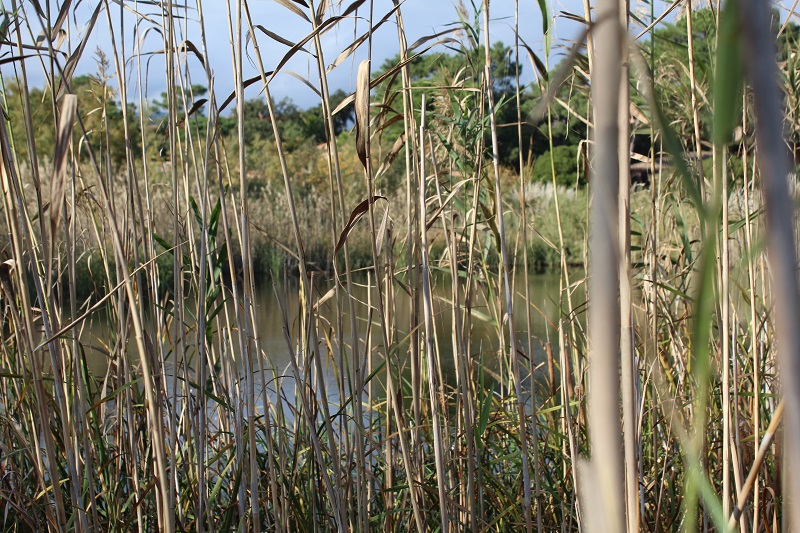
| Phragmites australis (Cav.) Trin. ex Steud., 1840 |
Present |
|
| Rubus sp. L., 1753 |
Present |
|
| Typha angustifolia L., 1753 |
Present |
|
Fauna
| Mammals |
Presence status in wetland |
|
References |
| Sus scrofa (Linnaeus, 1758) |
Present |
|
|
Birds |
Number of individuals |
Nesting |
References |
| Gallinula chloropus (Linnaeus, 1758) |
|
|
|
| Erithacus rubecula (Linnaeus, 1758) |
|
|
|