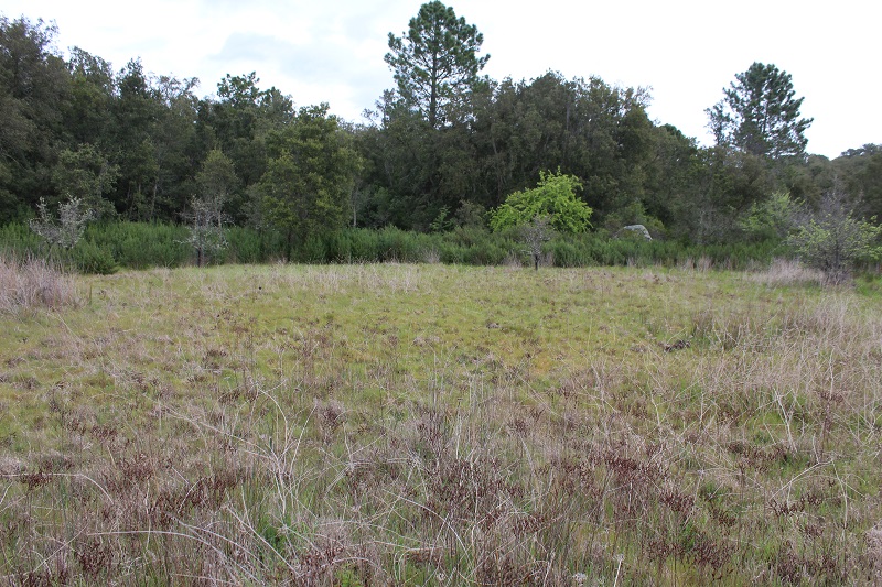
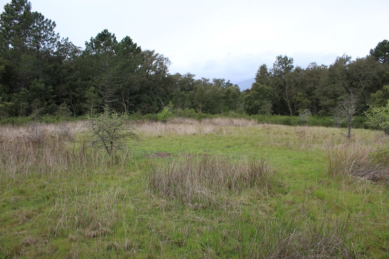
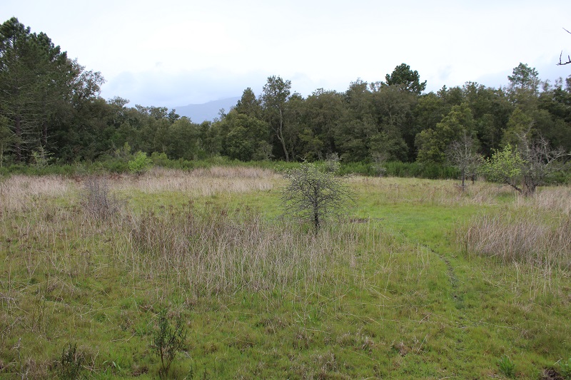
FR831COR150 - Mare de Ceccia
Wetland data
Basic information
| Wetland location: |
Inland |
| Wetland type: |
Natural |
| Wetland area: |
0.3 Ha |
| Hydrological interaction: |
- |
| Water salinity: |
Fresh (< 0.5 g/l) |
| Type of fresh water input: |
Catchment area (precipitation) |
| Surface water runoff |
There is no obvious water outflow |
| Open water area (%): |
< 5 |
| Hydroperiod: |
Temporary / Intermittent |
Geographic information
| Region: |
Corsica |
| Sub region: |
Sartène |
| Island: |
Corsica |
| Municipality: |
Porto-Vecchio |
| Longitude: |
9.229047 East |
| Latitude: |
41.557986 North |
Wetland condition
| Wetland status (MEDWET): |
2 - Original habitats / landform still predominant (>50%) |
Ramsar wetland type
| Type |
Coverage (%) |
| Ts -- Seasonal/intermittent freshwater marshes/pools on inorganic soils; includes sloughs, potholes, seasonally flooded meadows, sedge marshes |
> 95 |
Property status
Protection statuses
| Protection status category |
Protection status subcategory |
Area's name |
Code |
Coverage area (%) |
Legislation |
| Other |
ZNIEFF type II |
SUBERAIE DE PORTO VECCHIO |
|
84 |
|
| International Protection |
Special Area of Conservation (SAC) |
Ceccia/Porto-Vecchio Suberaie |
FR9400588 |
100 |
D 95-631/05.05.95 |
IUCN protection status
| IUCN code |
IUCN Category |
| IV |
Aire de gestion des habitats ou espèces |
| V |
Paysage terrestre ou marin protégé |
Ecosystem services
| Type of ecosystem service |
Ecosystem service |
Scale of Βenefit (%) |
Importance |
| Provisioning services |
Food |
Local (<2km) |
1 - 1000 people benefitting |
| Cultural services |
Social relations |
Local (<2km) |
1 - 1000 people benefitting |
Activities on wetland
| Activity |
Intensity |
| 140 = Grazing |
Medium |
| 230 = Hunting |
High |
| 501 = paths tracks cycling tracks |
High |
| 530 = Improved access to site |
High |
Activities on catchment area
| Activity |
Intensity |
| 140 = Grazing |
Medium |
| 230 = Hunting |
High |
| 403 = dispersed habitation |
Low |
| 501 = paths tracks cycling tracks |
Medium |
| 502 = roads motorways |
Medium |
| 530 = Improved access to site |
High |
Impacts
| Impact |
Intensity |
| SP- = Soil compaction |
Medium |
Vegetation types
| Type |
Coverage (%) |
| Shrubby / Arborescent |
5 - 25 |
| Other |
26 - 50 |
| Emergent |
5 - 25 |
| Wet meadow |
51 - 75 |
Flora
| Species |
Presence status |
References |
| Cistus monspeliensis L., 1753 |
Present |
|
| Cynodon dactylon (L.) Pers., 1805 |
Present |
|
| Daucus carota L., 1753 |
Present |
|
| Geranium sp. L., 1753 |
Present |
|
| Juncus effusus L., 1753 |
Present |
|
| Juncus sp. L., 1753 |
Present |
|
| Linum usitatissimum L., 1753 |
Present |
|
| Myrtus communis L., 1753 |
Present |
|
| Phillyrea angustifolia L., 1753 |
Present |
|
| Plantago lanceolata L., 1753 |
Present |
|
| Prunus spinosa L., 1753 |
Present |
|
| Quercus suber L., 1753 |
Present |
|
| Stachys arvensis (L.) L., 1763 |
Present |
|
| Trifolium sp. L., 1753 |
Present |
|
Fauna
| Mammals |
Presence status in wetland |
|
References |
| Sus scrofa (Linnaeus, 1758) |
Present |
|
|
Reptiles |
Presence status in wetland |
|
References |
| Podarcis tiliguerta (Gmelin, 1789) |
Present |
|
DOCOB Natura 2000 n° FR9400588 - « Su... |