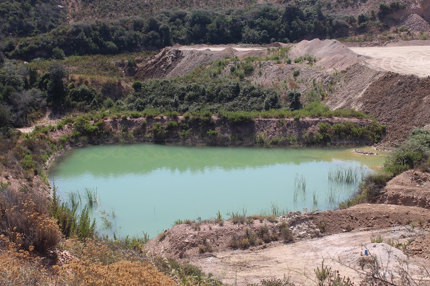
FR831COR173 - Bassin de carrière de Suartone
Wetland data
Basic information
| Wetland location: |
Inland |
| Wetland type: |
Artificial |
| Wetland area: |
0.1 Ha |
| Hydrological interaction: |
- |
| Water salinity: |
Fresh (< 0.5 g/l) |
| Type of fresh water input: |
Catchment area (precipitation) |
| Surface water runoff |
Unknown |
| Open water area (%): |
> 95 |
| Hydroperiod: |
Permanent |
Geographic information
| Region: |
Corsica |
| Sub region: |
Sartène |
| Island: |
Corsica |
| Municipality: |
Porto-Vecchio |
| Longitude: |
9.244719 East |
| Latitude: |
41.488199 North |
Biological significance
| Biological significance: |
Neutral |
Ramsar wetland type
| Type |
Coverage (%) |
| 7 -- Excavations; gravel/brick/clay pits; borrow pits, mining pools |
> 95 |
Property status
Protection statuses
| Protection status category |
Protection status subcategory |
Area's name |
Code |
Coverage area (%) |
Legislation |
| Other |
ZNIEFF type II |
SUBERAIE DE PORTO VECCHIO |
|
83 |
|
Ecosystem services
| Type of ecosystem service |
Ecosystem service |
Scale of Βenefit (%) |
Importance |
| Provisioning services |
Clay, mineral, aggregate, salt harvesting |
Local (<2km) |
1 - 1000 people benefitting |
Activities on wetland
| Activity |
Intensity |
| 703 = soil pollution |
Unknown |
| 954 = invasion by a species |
Medium |
Activities on catchment area
| Activity |
Intensity |
| 230 = Hunting |
Medium |
| 300 = Sand and gravel extraction |
Medium |
| 301 = quarries |
Medium |
| 331 = open cast mining |
Medium |
| 411 = factory |
Low |
| 412 = industrial stockage |
Low |
| 440 = Storage of materials |
Medium |
| 501 = paths tracks cycling tracks |
Low |
| 502 = roads motorways |
Medium |
| 703 = soil pollution |
Unknown |
| 710 = Noise nuisance |
Medium |
| 720 = Trampling overuse |
High |
| 954 = invasion by a species |
Medium |
Impacts
| Impact |
Intensity |
| EE- = Increase of economic potential |
Unknown |
| SP- = Soil compaction |
Medium |
| VCX = Introduction of exotic floral species |
Medium |
Vegetation types
| Type |
Coverage (%) |
| Other |
26 - 50 |
| Emergent |
< 5 |
Flora
| Species |
Presence status |
References |
| Dittrichia viscosa (L.) Greuter, 1973 |
Present |
|
| Rubus sp. L., 1753 |
Present |
|