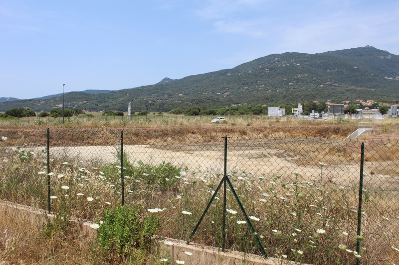
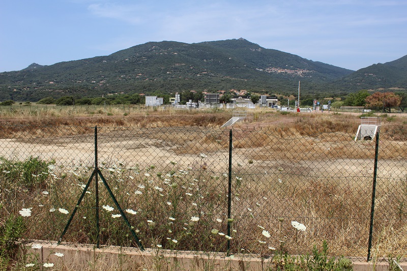
FR831COR284 - Réservoir de Bartaccia
Wetland data
Basic information
| Wetland location: |
Inland |
| Wetland type: |
Artificial |
| Wetland area: |
0.3 Ha |
| Hydrological interaction: |
- |
| Water salinity: |
Fresh (< 0.5 g/l) |
| Type of fresh water input: |
Catchment area (precipitation) |
| Surface water runoff |
There is no obvious water outflow |
| Open water area (%): |
76 - 95 |
| Hydroperiod: |
Permanent |
Geographic information
| Region: |
Corsica |
| Sub region: |
Sartène |
| Island: |
Corsica |
| Municipality: |
Olmeto |
| Longitude: |
8.921412 East |
| Latitude: |
41.683491 North |
Biological significance
| Biological significance: |
Neutral |
Ramsar wetland type
| Type |
Coverage (%) |
| 2 -- Ponds; includes farm ponds, stock ponds, small tanks; (generally below 8 ha) |
> 95 |
Property status
Ecosystem services
| Type of ecosystem service |
Ecosystem service |
Scale of Βenefit (%) |
Importance |
| Regulatory services |
Water regulation |
Local (<2km) |
1 - 1000 people benefitting |
Activities on wetland
| Activity |
Intensity |
| 501 = paths tracks cycling tracks |
High |
| 502 = roads motorways |
High |
| 710 = Noise nuisance |
High |
Activities on catchment area
| Activity |
Intensity |
| 010 = Habitat conservation |
High |
| 020 = Resource conservation |
High |
| 030 = Species conservation |
High |
| 040 = Land restoration |
High |
| 100 = Cultivation |
Medium |
| 110 = Use of pesticides |
Unknown |
| 120 = Fertilisation |
Unknown |
| 130 = Irrigation |
Unknown |
| 140 = Grazing |
Low |
| 210 = Professional fishing |
Unknown |
| 220 = Leisure fishing |
Unknown |
| 230 = Hunting |
Low |
| 402 = discontinuous urbanisation |
High |
| 410 = Industrial or commercial areas |
High |
| 501 = paths tracks cycling tracks |
High |
| 502 = roads motorways |
High |
| 504 = port areas |
Low |
| 530 = Improved access to site |
High |
| 608 = camping and caravans |
High |
| 621 = nautical sports |
Medium |
Impacts
| Impact |
Intensity |
| HC- = Loss of wildlife corridor(s) |
High |
| HF- = Habitat fragmentation |
High |
| HL- = Habitat loss |
High |
Vegetation types
| Type |
Coverage (%) |
| Emergent |
5 - 25 |