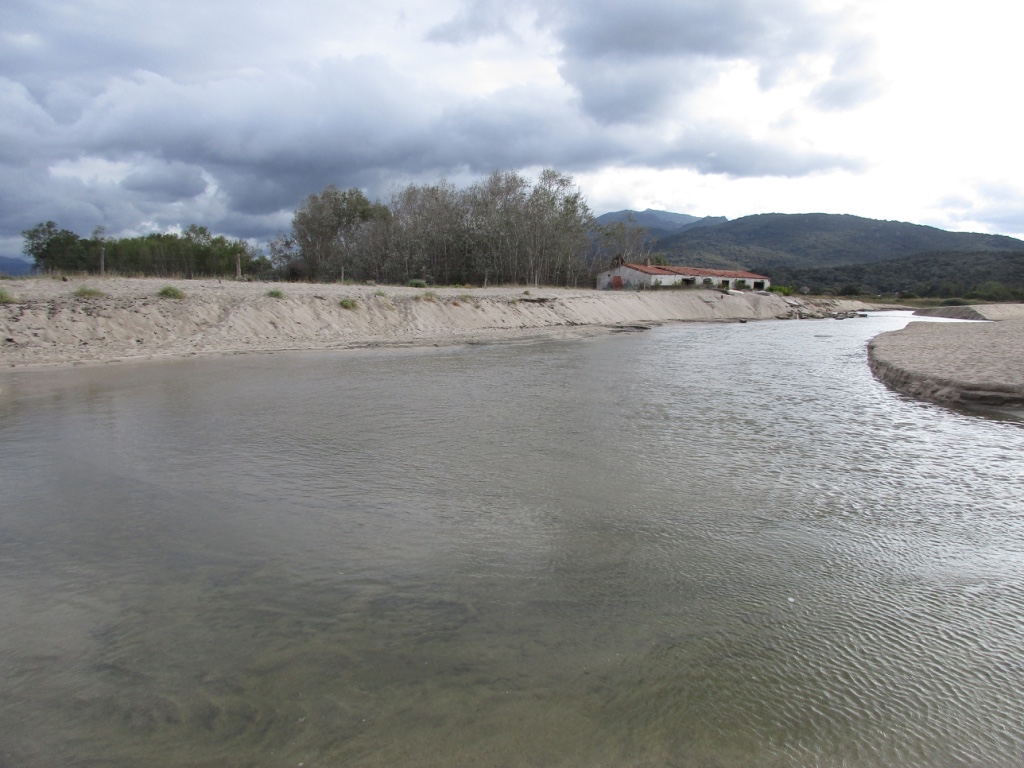
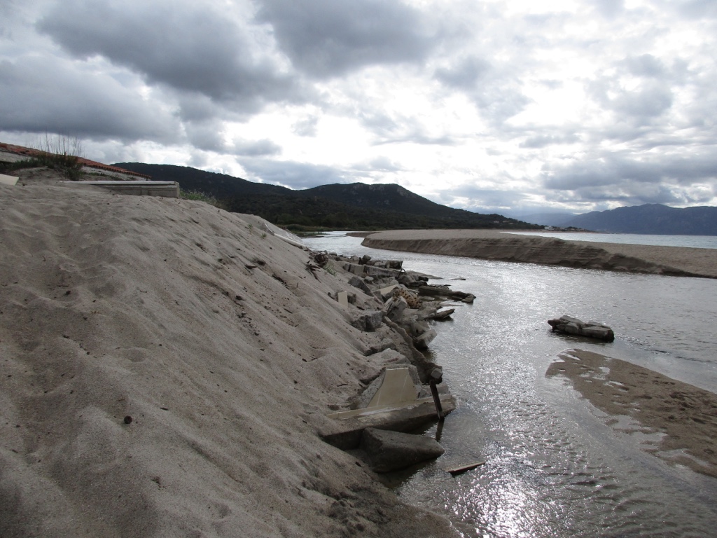
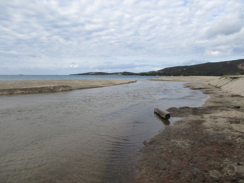
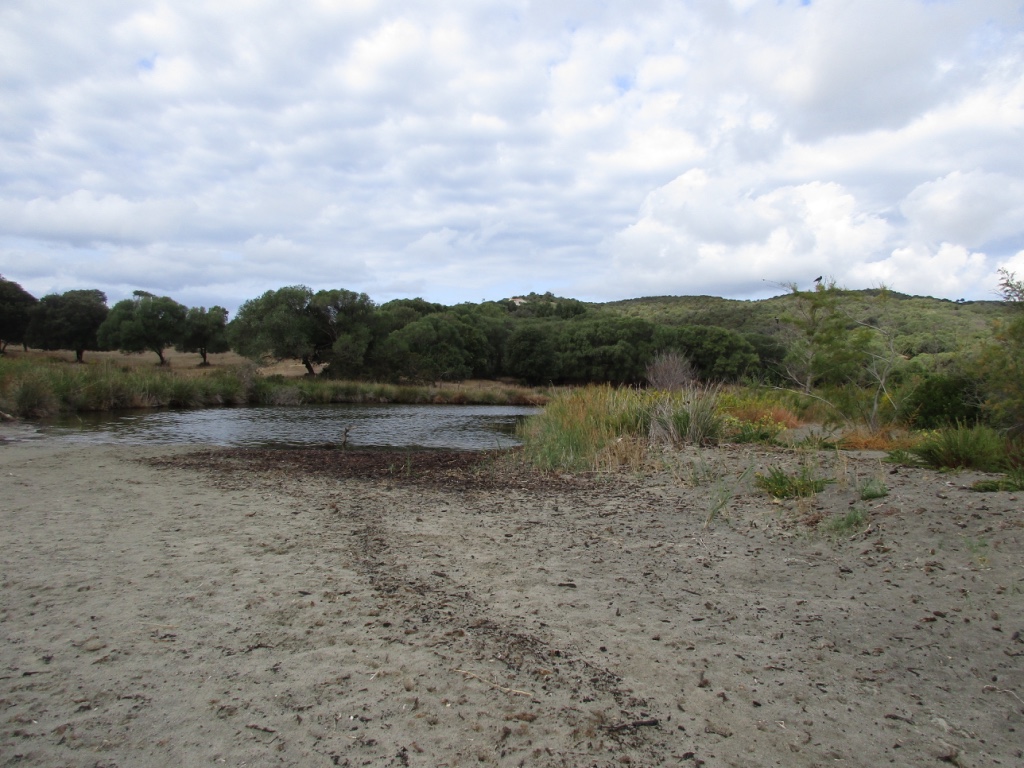
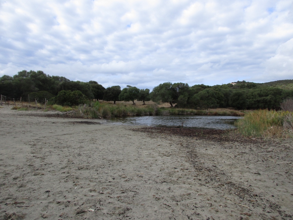
FR832COR290 - Estuaire du Taravo
Wetland data
Basic information
| Wetland location: |
Marine / Coastal |
| Wetland type: |
Natural |
| Wetland area: |
15.2 Ha |
| Hydrological interaction: |
- |
| Water salinity: |
Brackish (0.5 - 18.0 g/l) |
| Type of fresh water input: |
Torrent / Stream - Unconfined aquifer |
| Surface water runoff |
Outflow from lakeshore or river |
| Open water area (%): |
51 - 75 |
| Hydroperiod: |
Permanent |
Geographic information
| Region: |
Corsica |
| Sub region: |
Ajaccio |
| Island: |
Corsica |
| Municipality: |
Serra-di-Ferro |
| Longitude: |
8.825776 East |
| Latitude: |
41.711675 North |
Wetland condition
| Wetland status (MEDWET): |
2 - Original habitats / landform still predominant (>50%) |
Ramsar wetland type
| Type |
Coverage (%) |
| F -- Estuarine waters; permanent water of estuaries and estuarine systems of deltas |
> 95 |
Property status
Protection statuses
| Protection status category |
Protection status subcategory |
Area's name |
Code |
Coverage area (%) |
Legislation |
| Other |
ZNIEFF type I |
PLAGE ET ZONE HUMIDE DU BAS TARAVO ET DE TENUTELLA |
|
99 |
|
| International Protection |
Special Area of Conservation (SAC) |
Mouth of Taravo, Tenutella beach and Tanchiccia pond |
FR9400610 |
96 |
D 95-631/05.05.95 |
IUCN protection status
| IUCN code |
IUCN Category |
| IV |
Aire de gestion des habitats ou espèces |
| V |
Paysage terrestre ou marin protégé |
Ecosystem services
| Type of ecosystem service |
Ecosystem service |
Scale of Βenefit (%) |
Importance |
| Provisioning services |
Food |
Local (<2km) |
1 - 1000 people benefitting |
| Regulatory services |
Air quality regulation |
Local (<2km) |
1 - 1000 people benefitting |
| Regulatory services |
Local climate regulation |
Local (<2km) |
1 - 1000 people benefitting |
| Regulatory services |
Water regulation |
Local (<2km) |
1 - 1000 people benefitting |
| Regulatory services |
Flood hazard regulation |
Local (<2km) |
1 - 1000 people benefitting |
| Regulatory services |
Water purification |
Local (<2km) |
1 - 1000 people benefitting |
| Supporting services |
Nutrient cycling |
Local (<2km) |
1 - 1000 people benefitting |
| Supporting services |
Water recycling |
Local (<2km) |
1 - 1000 people benefitting |
| Cultural services |
Recreation and tourism |
Local (<2km) |
1 - 1000 people benefitting |
| Cultural services |
Social relations |
Local (<2km) |
1 - 1000 people benefitting |
Activities on wetland
| Activity |
Intensity |
| 010 = Habitat conservation |
High |
| 020 = Resource conservation |
High |
| 030 = Species conservation |
High |
| 040 = Land restoration |
High |
| 140 = Grazing |
Medium |
| 230 = Hunting |
Unknown |
| 423 = disposal of inert materials |
Low |
| 501 = paths tracks cycling tracks |
Low |
| 622 = walking horseriding and non-motorised vehicles |
Medium |
Activities on catchment area
| Activity |
Intensity |
| 010 = Habitat conservation |
High |
| 020 = Resource conservation |
High |
| 030 = Species conservation |
High |
| 040 = Land restoration |
High |
| 100 = Cultivation |
High |
| 110 = Use of pesticides |
Unknown |
| 120 = Fertilisation |
Unknown |
| 130 = Irrigation |
Medium |
| 140 = Grazing |
High |
| 210 = Professional fishing |
Unknown |
| 220 = Leisure fishing |
Medium |
| 230 = Hunting |
Unknown |
| 240 = Taking / Removal of fauna general |
Unknown |
| 403 = dispersed habitation |
Medium |
| 423 = disposal of inert materials |
Low |
| 501 = paths tracks cycling tracks |
Low |
| 502 = roads motorways |
Low |
| 530 = Improved access to site |
Medium |
| 600 = Sport and leisure structures |
Low |
| 608 = camping and caravans |
High |
| 621 = nautical sports |
Medium |
| 622 = walking horseriding and non-motorised vehicles |
High |
Impacts
| Impact |
Intensity |
| ED- = Increase in sediment removal/retention |
High |
| EP- = Reduction of salt intrusion potential |
High |
| ER- = Increase in flow regulation |
High |
| ES- = Increase in water supply |
High |
| ET- = Increase in toxicant removal/retention |
Medium |
| EW- = Increase in wilderness/wildlife values |
Unknown |
| HL- = Habitat loss |
Low |
Habitat types
| Type |
Coverage (%) |
| 1210 Annual vegetation of drift lines |
< 5 |
| 2120 Shifting dunes along the shoreline with Ammophila arenaria (‘white dunes’) |
5 - 25 |
| 6420 Mediterranean tall humid grasslands of the Molinio-Holoschoenion |
26 - 50 |
| 91E0 * Alluvial forests with Alnus glutinosa and Fraxinus excelsior (AlnoPadion, Alnion incanae, Salicion albae) |
5 - 25 |
Vegetation types
| Type |
Coverage (%) |
| Shrubby / Arborescent |
26 - 50 |
| Emergent |
26 - 50 |
| Halophytic |
5 - 25 |
| Ammophilous |
26 - 50 |
| Submerged |
5 - 25 |
Flora
| Species |
Presence status |
References |
| Agrostis stolonifera L., 1753 |
Present |
DOCOB Natura 2000 n° FR9400610 - « Em... |
| Alnus glutinosa (L.) Gaertn., 1790 |
Present |
DOCOB Natura 2000 n° FR9400610 - « Em... |
| Cyperus longus L., 1753 |
Present |
DOCOB Natura 2000 n° FR9400610 - « Em... |
| Dittrichia graveolens (L.) Greuter, 1973 |
Present |
|
| Phragmites australis (Cav.) Trin. ex Steud., 1840 |
Present |
|
| Polypogon monspeliensis (L.) Desf., 1798 |
Present |
DOCOB Natura 2000 n° FR9400610 - « Em... |
| Populus alba L., 1753 |
Present |
DOCOB Natura 2000 n° FR9400610 - « Em... |
| Populus nigra L., 1753 |
Present |
DOCOB Natura 2000 n° FR9400610 - « Em... |
| Salix alba L., 1753 |
Present |
DOCOB Natura 2000 n° FR9400610 - « Em... |
| Scirpoides holoschoenus (L.) Soják, 1972 |
Present |
DOCOB Natura 2000 n° FR9400610 - « Em... |
| Tamarix africana Poir., 1789 |
Present |
DOCOB Natura 2000 n° FR9400610 - « Em... |
| Trifolium fragiferum L., 1753 |
Present |
DOCOB Natura 2000 n° FR9400610 - « Em... |
| Trifolium resupinatum L., 1753 |
Present |
DOCOB Natura 2000 n° FR9400610 - « Em... |
Fauna
Reptiles |
Presence status in wetland |
|
References |
| Emys orbicularis (Linnaeus, 1758) |
Present |
|
Fleuriau & Bosc (2013) - Etude de la ... |