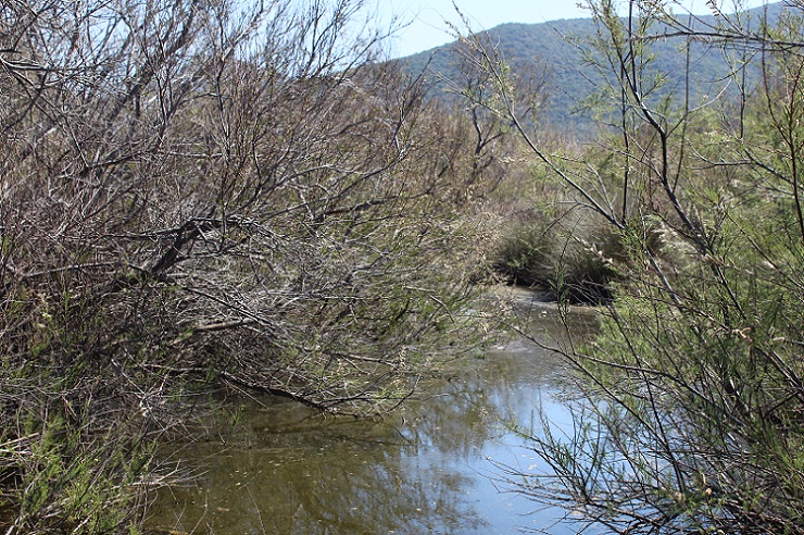
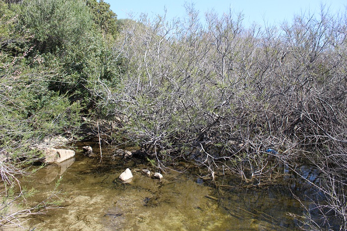
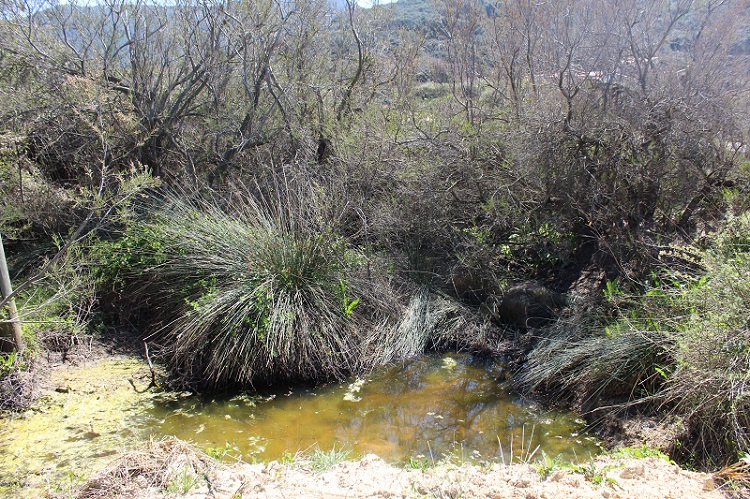
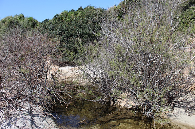
FR832COR312 - Estuaire du Saint-Antoine
Wetland data
Basic information
| Wetland location: |
Marine / Coastal |
| Wetland type: |
Natural |
| Wetland area: |
3.0 Ha |
| Hydrological interaction: |
- |
| Water salinity: |
Brackish (0.5 - 18.0 g/l) |
| Type of fresh water input: |
Torrent / Stream - Unconfined aquifer |
| Surface water runoff |
Outflow from lakeshore or river |
| Open water area (%): |
26 - 50 |
| Hydroperiod: |
Permanent |
Geographic information
| Region: |
Corsica |
| Sub region: |
Ajaccio |
| Island: |
Corsica |
| Municipality: |
Ajaccio |
| Longitude: |
8.626044 East |
| Latitude: |
41.927301 North |
Wetland condition
| Wetland status (MEDWET): |
3 - Original habitats / landform partially modified (10-50% untouched) |
Ramsar wetland type
| Type |
Coverage (%) |
| F -- Estuarine waters; permanent water of estuaries and estuarine systems of deltas |
> 95 |
Property status
| Government - Municipal / Private |
Protection statuses
| Protection status category |
Protection status subcategory |
Area's name |
Code |
Coverage area (%) |
Legislation |
| International Protection |
Special Area of Conservation (SAC) |
Capo di feno |
FR9402012 |
23 |
D 95-631/05.05.95 |
IUCN protection status
| IUCN code |
IUCN Category |
| IV |
Aire de gestion des habitats ou espèces |
| V |
Paysage terrestre ou marin protégé |
Ecosystem services
| Type of ecosystem service |
Ecosystem service |
Scale of Βenefit (%) |
Importance |
| Regulatory services |
Water purification |
Local (<2km) |
1 - 1000 people benefitting |
Activities on wetland
| Activity |
Intensity |
| 100 = Cultivation |
High |
| 180 = Burning |
High |
| 421 = disposal of household waste |
Low |
| 511 = electricity lines |
Medium |
| 530 = Improved access to site |
High |
| 710 = Noise nuisance |
Unknown |
| 870 = Dykes embankments artificial beaches general |
Medium |
| 952 = eutrophication |
Low |
Activities on catchment area
| Activity |
Intensity |
| 100 = Cultivation |
High |
| 110 = Use of pesticides |
Unknown |
| 120 = Fertilisation |
Unknown |
| 130 = Irrigation |
Unknown |
| 140 = Grazing |
Low |
| 210 = Professional fishing |
Medium |
| 220 = Leisure fishing |
Medium |
| 230 = Hunting |
Medium |
| 403 = dispersed habitation |
Medium |
| 511 = electricity lines |
Low |
| 530 = Improved access to site |
High |
| 621 = nautical sports |
Medium |
Impacts
| Impact |
Intensity |
| EP- = Reduction of salt intrusion potential |
High |
| HF- = Habitat fragmentation |
High |
| HL- = Habitat loss |
Low |
| VCX = Introduction of exotic floral species |
Medium |
| WS- = Salt water intrusion |
High |
Vegetation types
| Type |
Coverage (%) |
| Shrubby / Arborescent |
26 - 50 |
| Other |
26 - 50 |
| Emergent |
5 - 25 |
| Ammophilous |
5 - 25 |
Flora
| Species |
Presence status |
References |
| Achillea maritima (L.) Ehrend. & Y.P.Guo, 2005 |
Present |
|
| Agave americana L., 1753 |
Present |
|
| Arundo donax L., 1753 |
Present |
|
| Atriplex halimus L., 1753 |
Present |
|
| Cakile maritima Scop., 1772 |
Present |
|
| Carpobrotus sp. N.E.Br., 1925 |
Present |
|
| Cortaderia selloana (Schult. & Schult.f.) Asch. & Graebn., 1900 |
Present |
|
| Dittrichia viscosa (L.) Greuter, 1973 |
Present |
|
| Euphorbia paralias L., 1753 |
Present |
|
| Juncus acutus L., 1753 |
Present |
|
| Malva arborea (L.) Webb & Berthel., 1837 |
Present |
|
| Matthiola tricuspidata (L.) W.T.Aiton, 1812 |
Present |
|
| Pancratium maritimum L., 1753 |
Present |
|
| Pistacia lentiscus L., 1753 |
Present |
|
| Rubus sp. L., 1753 |
Present |
|
| Senecio transiens (Rouy) Jeanm., 2003 |
Present |
|
| Tamarix africana Poir., 1789 |
Present |
|
Fauna
Reptiles |
Presence status in wetland |
|
References |
| Podarcis siculus (Rafinesque-Schmaltz, 1810) |
Present |
|
ZSC - Capo di feno |
| Testudo hermanni (Gmelin, 1789) |
Present |
|
ZSC - Capo di feno |
Birds |
Number of individuals |
Nesting |
References |
| Cettia cetti (Temminck, 1820) |
|
|
|
| Delichon urbicum (Linnaeus, 1758) |
|
|
|