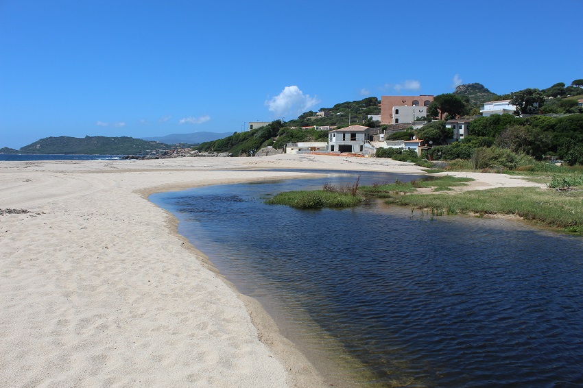
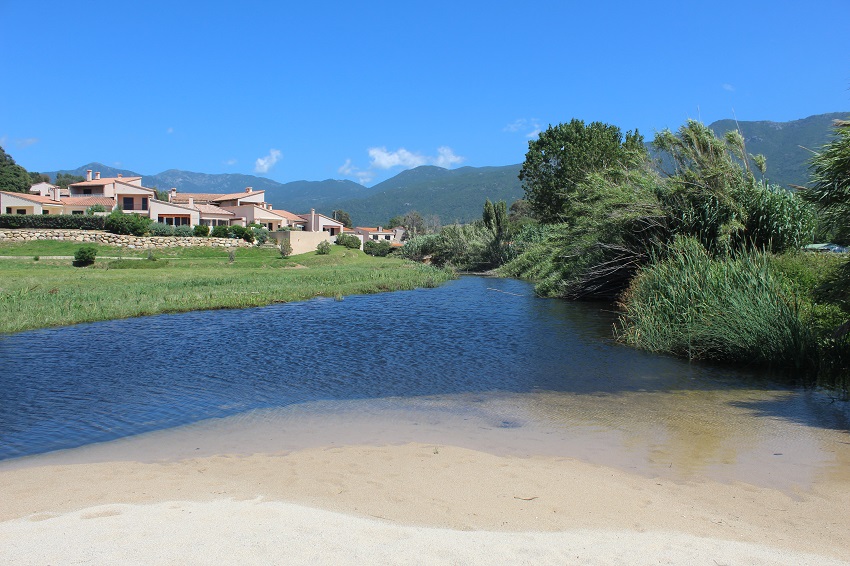
FR832COR326 - Embouchure a Liscia
Wetland data
Basic information
| Wetland location: |
Marine / Coastal |
| Wetland type: |
Natural |
| Wetland area: |
3.3 Ha |
| Hydrological interaction: |
- |
| Water salinity: |
Brackish (0.5 - 18.0 g/l) |
| Type of fresh water input: |
Torrent / Stream - Unconfined aquifer |
| Surface water runoff |
Outflow from lakeshore or river |
| Open water area (%): |
5 - 25 |
| Hydroperiod: |
Permanent |
Geographic information
| Region: |
Corsica |
| Sub region: |
Ajaccio |
| Island: |
Corsica |
| Municipality: |
Calcatoggio |
| Longitude: |
8.749441 East |
| Latitude: |
42.048828 North |
Wetland condition
| Wetland status (MEDWET): |
4 - Original habitats / landform highly modified (<10% untouched) |
Ramsar wetland type
| Type |
Coverage (%) |
| F -- Estuarine waters; permanent water of estuaries and estuarine systems of deltas |
> 95 |
Property status
| Government - Municipal / Private |
Ecosystem services
| Type of ecosystem service |
Ecosystem service |
Scale of Βenefit (%) |
Importance |
| Regulatory services |
Air quality regulation |
Local (<2km) |
1 - 1000 people benefitting |
| Regulatory services |
Local climate regulation |
Local (<2km) |
1 - 1000 people benefitting |
| Regulatory services |
Flood hazard regulation |
Local (<2km) |
1 - 1000 people benefitting |
| Regulatory services |
Water purification |
Local (<2km) |
1 - 1000 people benefitting |
| Cultural services |
Recreation and tourism |
Local (<2km) |
1 - 1000 people benefitting |
| Supporting services |
Provision of habitat |
Local (<2km) |
1 - 1000 people benefitting |
Activities on wetland
| Activity |
Intensity |
| 140 = Grazing |
Low |
| 220 = Leisure fishing |
Medium |
| 400 = Urbanised areas human habitation |
High |
| 401 = continuous urbanisation |
High |
| 530 = Improved access to site |
High |
| 608 = camping and caravans |
Low |
| 701 = water pollution |
Unknown |
| 710 = Noise nuisance |
Medium |
| 850 = Modification of hydrographic functioning general |
Medium |
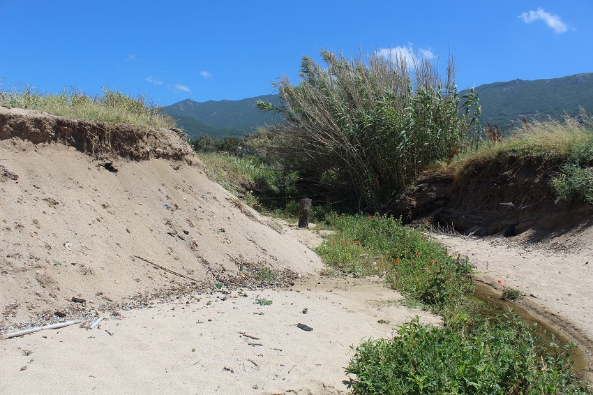
| 900 = Erosion |
Medium |
| 954 = invasion by a species |
Low |
Activities on catchment area
| Activity |
Intensity |
| 140 = Grazing |
Medium |
| 400 = Urbanised areas human habitation |
High |
| 401 = continuous urbanisation |
High |
| 502 = roads motorways |
High |
| 530 = Improved access to site |
High |
| 608 = camping and caravans |
Medium |
| 609 = other sport/tourism complexes |
Medium |
| 621 = nautical sports |
Medium |
| 710 = Noise nuisance |
Medium |
Impacts
| Impact |
Intensity |
| EU- = Increase of tourist/recreation potential |
Low |
| HF- = Habitat fragmentation |
Medium |
| HL- = Habitat loss |
High |
| LF- = Decrease in protection from natural forces |
High |
| LR- = Decrease in flow regulation |
High |
| VCX = Introduction of exotic floral species |
Low |
Vegetation types
| Type |
Coverage (%) |
| Shrubby / Arborescent |
< 5 |
| Emergent |
26 - 50 |
| Halophytic |
5 - 25 |
| Submerged |
< 5 |
Flora
| Species |
Presence status |
References |
| Allium sp. L., 1753 |
Present |
|
| Arundo donax L., 1753 |
Present |
|
| Eryngium maritimum L., 1753 |
Present |
|
| Glaucium flavum Crantz, 1763 |
Present |
|
| Juncus acutus L., 1753 |
Present |
|
| Limonium sp. Mill., 1754 |
Present |
|
| Matthiola tricuspidata (L.) W.T.Aiton, 1812 |
Present |
|
| Papaver rhoeas L., 1753 |
Present |
|
| Rumex sp. L., 1753 |
Present |
|
| Typha latifolia L., 1753 |
Present |
|
Fauna
Amphibians |
Presence status in wetland |
|
References |
| Pelophylax lessonae bergeri (Günther in Engelmann, Fritzsche, Günther & Obst, 1986) |
Present |
|
|
Birds |
Number of individuals |
Nesting |
References |
| Corvus corone cornix (Linnaeus, 1758) |
|
|
|
| Hirundo rustica (Linnaeus, 1758) |
|
|
|