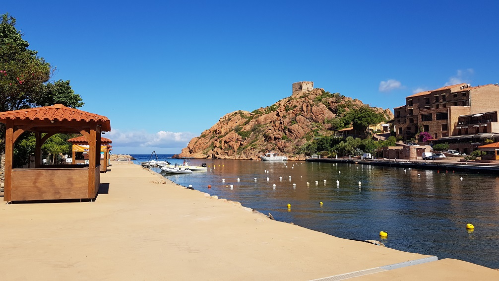
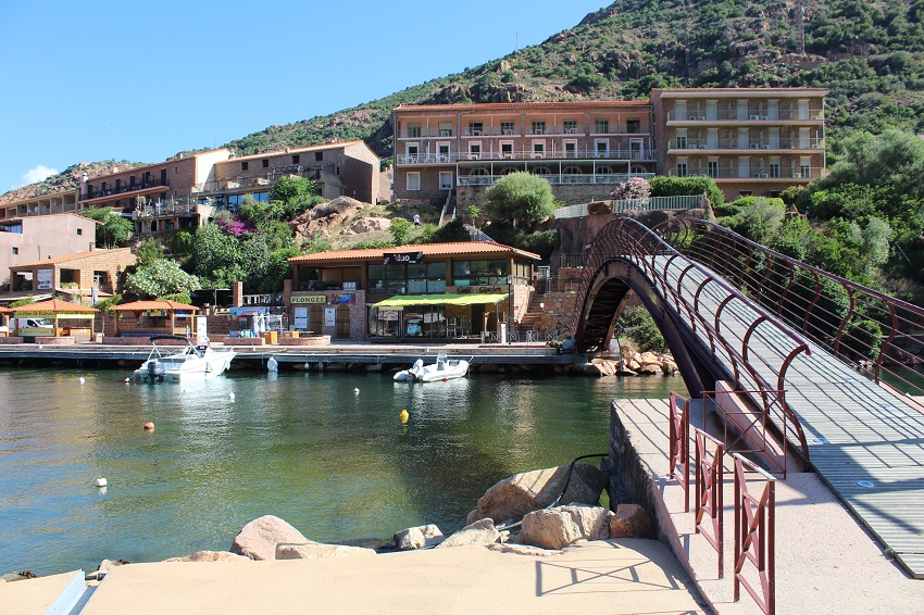
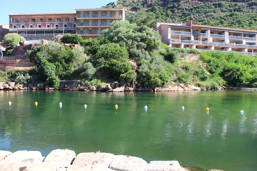
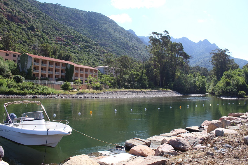
FR832COR333 - Estuaire de Porto
Wetland data
Basic information
| Wetland location: |
Marine / Coastal |
| Wetland type: |
Natural |
| Wetland area: |
14.5 Ha |
| Hydrological interaction: |
- |
| Water salinity: |
Brackish (0.5 - 18.0 g/l) |
| Type of fresh water input: |
Torrent / Stream - Unconfined aquifer |
| Surface water runoff |
Outflow from lakeshore or river |
| Open water area (%): |
76 - 95 |
| Hydroperiod: |
Permanent |
Geographic information
| Region: |
Corsica |
| Sub region: |
Ajaccio |
| Island: |
Corsica |
| Municipality: |
Ota |
| Longitude: |
8.698057 East |
| Latitude: |
42.265234 North |
Wetland condition
| Wetland status (MEDWET): |
5 - Original habitats / landform totally changed |
Ramsar wetland type
| Type |
Coverage (%) |
| F -- Estuarine waters; permanent water of estuaries and estuarine systems of deltas |
> 95 |
Property status
Protection statuses
| Protection status category |
Protection status subcategory |
Area's name |
Code |
Coverage area (%) |
Legislation |
| International Protection |
Inscribed on the UNESCO World Heritage sites |
Golfe de Porto : calanche de Piana, golfe de Girolata, réserve de Scandola |
|
100 |
|
| National/Regional Protection |
Regional natural Park |
Corse |
|
86 |
L.333-1 à L.333-4 Code Env. |
| International Protection |
Biosphere Reserve (buffer zone) |
Falasorma - Dui Sevi |
|
100 |
|
| International Protection |
Special Protection Area (SPA) |
Gulf of Porto and Scandola peninsula |
FR9410023 |
100 |
D 95-631/05.05.95 |
| International Protection |
Special Area of Conservation (SAC) |
Porto/Scandola/Revellata/Calvi/Calanches de Piana (terrestrial and marine area) |
FR9400574 |
7 |
D 95-631/05.05.95 |
CDDA protection status
| CDDA code |
CDDA category |
| FR13 |
Site/Monument Classified |
| FR15 |
Regional Natural Park |
IUCN protection status
| IUCN code |
IUCN Category |
| III |
Monument ou élément naturel |
| IV |
Aire de gestion des habitats ou espèces |
| V |
Paysage terrestre ou marin protégé |
Ecosystem services
| Type of ecosystem service |
Ecosystem service |
Scale of Βenefit (%) |
Importance |
| Regulatory services |
Air quality regulation |
Local (<2km) |
1 - 1000 people benefitting |
| Regulatory services |
Local climate regulation |
Local (<2km) |
1 - 1000 people benefitting |
| Cultural services |
Recreation and tourism |
Local (<2km) |
1 - 1000 people benefitting |
| Cultural services |
Social relations |
Local (<2km) |
1 - 1000 people benefitting |
Activities on wetland
| Activity |
Intensity |
| 220 = Leisure fishing |
High |
| 504 = port areas |
Medium |
| 507 = bridge viaduct |
Medium |
| 621 = nautical sports |
Medium |
| 710 = Noise nuisance |
High |
| 870 = Dykes embankments artificial beaches general |
High |
| 954 = invasion by a species |
Low |
Activities on catchment area
| Activity |
Intensity |
| 220 = Leisure fishing |
Medium |
| 230 = Hunting |
Low |
| 402 = discontinuous urbanisation |
High |
| 410 = Industrial or commercial areas |
Medium |
| 502 = roads motorways |
Medium |
| 504 = port areas |
Medium |
| 530 = Improved access to site |
High |
| 608 = camping and caravans |
Low |
| 621 = nautical sports |
Medium |
| 622 = walking horseriding and non-motorised vehicles |
High |
| 710 = Noise nuisance |
High |
Impacts
| Impact |
Intensity |
| EE- = Increase of economic potential |
High |
| EU- = Increase of tourist/recreation potential |
Medium |
| HL- = Habitat loss |
Medium |
| LF- = Decrease in protection from natural forces |
Medium |
| LR- = Decrease in flow regulation |
High |
| VCX = Introduction of exotic floral species |
High |
Vegetation types
| Type |
Coverage (%) |
| Shrubby / Arborescent |
5 - 25 |
Flora
| Species |
Presence status |
References |
| Ailanthus altissima (Mill.) Swingle, 1916 |
Present |
|
| Dittrichia viscosa (L.) Greuter, 1973 |
Present |
|
| Eucalyptus globulus Labill., 1800 |
Present |
|
| Olea europaea L., 1753 |
Present |
|
| Opuntia ficus-indica (L.) Mill., 1768 |
Present |
|
| Rubus sp. L., 1753 |
Present |
|
Fauna
Birds |
Number of individuals |
Nesting |
References |
| Apus apus (Linnaeus, 1758) |
|
|
|
| Larus michahellis (Naumann, 1840) |
|
|
|
| Ptyonoprogne rupestris (Scopoli, 1769) |
|
|
|