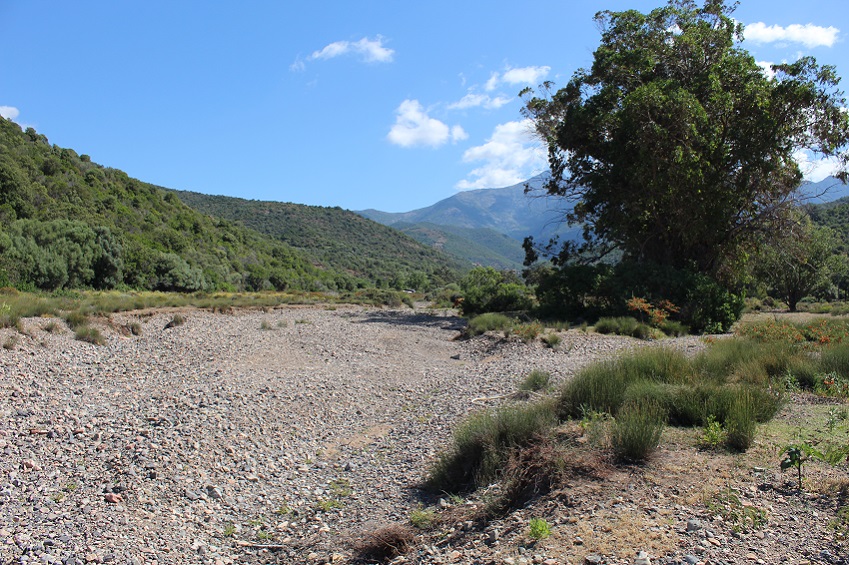
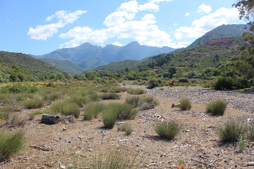
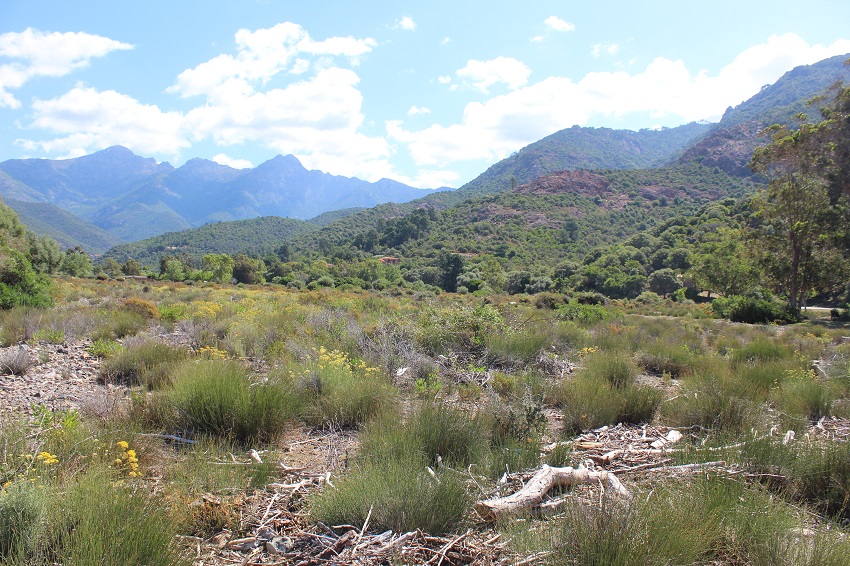
FR832COR334 - Estuaire du Vetricella
Wetland data
Basic information
| Wetland location: |
Marine / Coastal |
| Wetland type: |
Natural |
| Wetland area: |
18.0 Ha |
| Hydrological interaction: |
- |
| Water salinity: |
Brackish (0.5 - 18.0 g/l) |
| Type of fresh water input: |
Torrent / Stream - Unconfined aquifer |
| Surface water runoff |
Outflow from lakeshore or river |
| Open water area (%): |
< 5 |
| Hydroperiod: |
Seasonal |
Geographic information
| Region: |
Corsica |
| Sub region: |
Ajaccio |
| Island: |
Corsica |
| Municipality: |
Serriera |
| Longitude: |
8.691805 East |
| Latitude: |
42.285296 North |
Wetland condition
| Wetland status (MEDWET): |
2 - Original habitats / landform still predominant (>50%) |
Ramsar wetland type
| Type |
Coverage (%) |
| F -- Estuarine waters; permanent water of estuaries and estuarine systems of deltas |
76 - 95 |
| H -- Intertidal marshes; includes salt marshes, salt meadows, saltings, raised salt marshes; includes tidal brackish and freshwater marshes |
5 - 25 |
Property status
| Conservatoire du littoral |
Protection statuses
| Protection status category |
Protection status subcategory |
Area's name |
Code |
Coverage area (%) |
Legislation |
| International Protection |
Inscribed on the UNESCO World Heritage sites |
Golfe de Porto : calanche de Piana, golfe de Girolata, réserve de Scandola |
|
100 |
|
| National/Regional Protection |
Regional natural Park |
Corse |
|
100 |
L.333-1 à L.333-4 Code Env. |
| International Protection |
Biosphere Reserve (buffer zone) |
Falasorma - Dui Sevi |
|
100 |
|
| National/Regional Protection |
Land acquired by the Conservatoire du littoral |
BUSSAGHJA |
|
27 |
L.322-1 Code Env. |
| Other |
ZNIEFF type I |
CAPU SENINU et COTE OUEST DU NORD DE BUSSAGHIA |
|
61 |
|
| International Protection |
Special Protection Area (SPA) |
Gulf of Porto and Scandola peninsula |
FR9410023 |
100 |
D 95-631/05.05.95 |
| International Protection |
Special Area of Conservation (SAC) |
Porto/Scandola/Revellata/Calvi/Calanches de Piana (terrestrial and marine area) |
FR9400574 |
61 |
D 95-631/05.05.95 |
CDDA protection status
| CDDA code |
CDDA category |
| FR13 |
Site/Monument Classified |
| FR14 |
Site acquired by the Conservatoire du littoral |
| FR15 |
Regional Natural Park |
IUCN protection status
| IUCN code |
IUCN Category |
| III |
Monument ou élément naturel |
| IV |
Aire de gestion des habitats ou espèces |
| V |
Paysage terrestre ou marin protégé |
Ecosystem services
| Type of ecosystem service |
Ecosystem service |
Scale of Βenefit (%) |
Importance |
| Provisioning services |
Food |
Local (<2km) |
1 - 1000 people benefitting |
| Cultural services |
Recreation and tourism |
Local (<2km) |
1 - 1000 people benefitting |
| Cultural services |
Social relations |
Local (<2km) |
1 - 1000 people benefitting |
Activities on wetland
| Activity |
Intensity |
| 010 = Habitat conservation |
High |
| 030 = Species conservation |
High |
| 140 = Grazing |
Medium |
| 220 = Leisure fishing |
Low |
| 230 = Hunting |
Low |
| 954 = invasion by a species |
Low |
Activities on catchment area
| Activity |
Intensity |
| 010 = Habitat conservation |
Medium |
| 030 = Species conservation |
Medium |
| 220 = Leisure fishing |
Low |
| 230 = Hunting |
Low |
| 403 = dispersed habitation |
Low |
| 501 = paths tracks cycling tracks |
Low |
| 530 = Improved access to site |
Medium |
| 954 = invasion by a species |
Low |
Impacts
| Impact |
Intensity |
| EE- = Increase of economic potential |
High |
| EU- = Increase of tourist/recreation potential |
High |
| VCX = Introduction of exotic floral species |
Medium |
Habitat types
| Type |
Coverage (%) |
| 1410 Mediterranean salt meadows (Juncetalia maritimi) |
|
Vegetation types
| Type |
Coverage (%) |
| Shrubby / Arborescent |
5 - 25 |
| Emergent |
51 - 75 |
Flora
| Species |
Presence status |
References |
| Cistus monspeliensis L., 1753 |
Present |
|
| Dittrichia viscosa (L.) Greuter, 1973 |
Present |
|
| Eucalyptus globulus Labill., 1800 |
Present |
|
| Glaucium flavum Crantz, 1763 |
Present |
|
| Olea europaea L., 1753 |
Present |
|
| Rubus sp. L., 1753 |
Present |
|