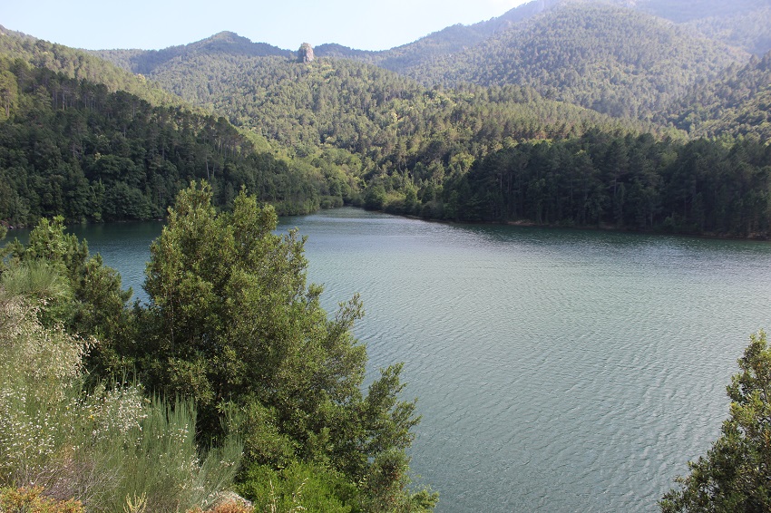
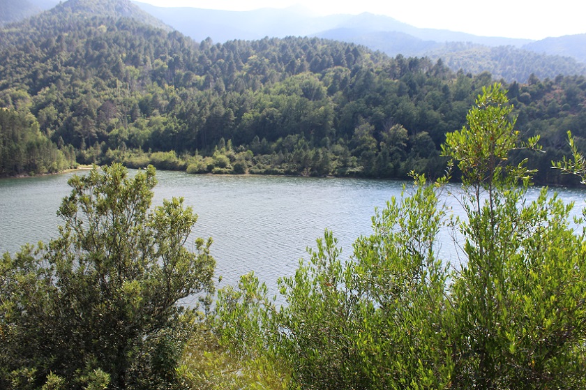
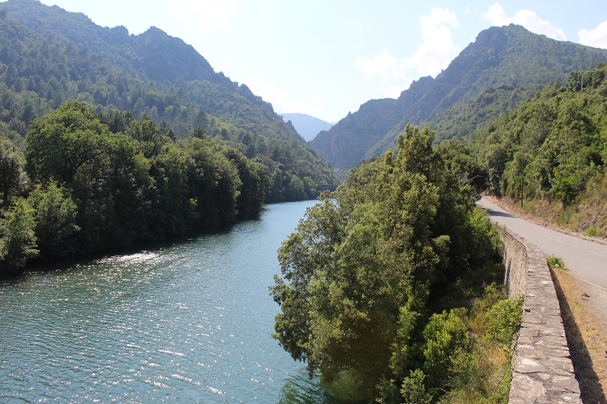
FR835COR459 - Lac de barrage de Sampolo
Wetland data
Basic information
| Wetland location: |
Inland |
| Wetland type: |
Artificial |
| Wetland area: |
26.6 Ha |
| Hydrological interaction: |
- |
| Water salinity: |
Fresh (< 0.5 g/l) |
| Type of fresh water input: |
Torrent / Stream - Unconfined aquifer |
| Surface water runoff |
Outflow controlled by dam |
| Open water area (%): |
76 - 95 |
| Hydroperiod: |
Permanent |
Geographic information
| Region: |
Corsica |
| Sub region: |
Corte |
| Island: |
Corsica |
| Municipality: |
Ghisoni |
| Longitude: |
9.277637 East |
| Latitude: |
42.096842 North |
Biological significance
| Biological significance: |
Low |
Ramsar wetland type
| Type |
Coverage (%) |
| 6 -- Water storage areas; reservoirs/barrages/dams/impoundments (generally over 8 ha) |
> 95 |
Property status
Protection statuses
| Protection status category |
Protection status subcategory |
Area's name |
Code |
Coverage area (%) |
Legislation |
| National/Regional Protection |
Regional natural Park |
Corse |
|
100 |
L.333-1 à L.333-4 Code Env. |
| Other |
ZNIEFF type I |
DEFILE DES STRETTE ET DE L'INZECCA |
|
100 |
|
CDDA protection status
| CDDA code |
CDDA category |
| FR13 |
Site/Monument Classified |
| FR15 |
Regional Natural Park |
IUCN protection status
| IUCN code |
IUCN Category |
| III |
Monument ou élément naturel |
| V |
Paysage terrestre ou marin protégé |
Ecosystem services
| Type of ecosystem service |
Ecosystem service |
Scale of Βenefit (%) |
Importance |
| Provisioning services |
Fresh water |
Local (<2km) |
Significant and/or >1000 people benefitting |
| Provisioning services |
Food |
Local (<2km) |
1 - 1000 people benefitting |
| Provisioning services |
Energy harvesting from natural air and water flows |
Local (<2km) |
Significant and/or >1000 people benefitting |
| Provisioning services |
Energy harvesting from natural air and water flows |
Island |
Significant and/or >1000 people benefitting |
| Regulatory services |
Air quality regulation |
Local (<2km) |
1 - 1000 people benefitting |
| Regulatory services |
Local climate regulation |
Local (<2km) |
1 - 1000 people benefitting |
Activities on wetland
| Activity |
Intensity |
| 220 = Leisure fishing |
Unknown |
| 810 = Drainage |
Low |
| 870 = Dykes embankments artificial beaches general |
Low |
Activities on catchment area
| Activity |
Intensity |
| 140 = Grazing |
Medium |
| 220 = Leisure fishing |
Unknown |
| 230 = Hunting |
Unknown |
| 403 = dispersed habitation |
Low |
| 511 = electricity lines |
Medium |
| 530 = Improved access to site |
Low |
Impacts
| Impact |
Intensity |
| EE- = Increase of economic potential |
Unknown |
Vegetation types
| Type |
Coverage (%) |
| Shrubby / Arborescent |
26 - 50 |
| Emergent |
5 - 25 |
| Submerged |
< 5 |