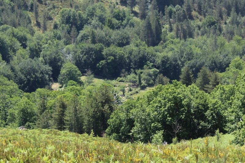
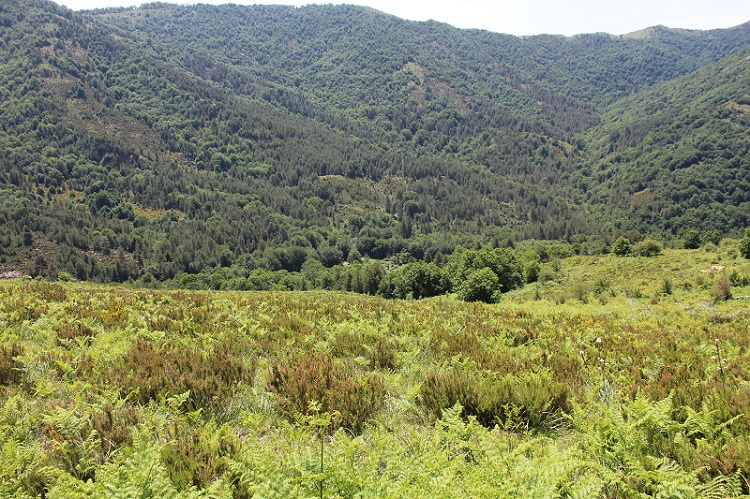
FR832COR478 - Mare d'Ariola
Wetland data
Basic information
| Wetland location: |
Inland |
| Wetland type: |
Natural |
| Wetland area: |
0.9 Ha |
| Hydrological interaction: |
- |
| Water salinity: |
Fresh (< 0.5 g/l) |
| Type of fresh water input: |
Catchment area (precipitation) |
| Surface water runoff |
There is no obvious water outflow |
| Open water area (%): |
5 - 25 |
| Hydroperiod: |
Seasonal |
Geographic information
| Region: |
Corsica |
| Sub region: |
Ajaccio |
| Island: |
Corsica |
| Municipality: |
Bastelica |
| Longitude: |
9.081673 East |
| Latitude: |
41.968645 North |
Wetland condition
| Wetland status (MEDWET): |
2 - Original habitats / landform still predominant (>50%) |
Ramsar wetland type
| Type |
Coverage (%) |
| Ts -- Seasonal/intermittent freshwater marshes/pools on inorganic soils; includes sloughs, potholes, seasonally flooded meadows, sedge marshes |
> 95 |
Property status
Protection statuses
| Protection status category |
Protection status subcategory |
Area's name |
Code |
Coverage area (%) |
Legislation |
| National/Regional Protection |
Regional natural Park |
Corse |
|
100 |
L.333-1 à L.333-4 Code Env. |
| Other |
ZNIEFF type I |
Forêt des cinq communes et col d'Arusula |
|
100 |
|
| International Protection |
Special Area of Conservation (SAC) |
Renoso Massif |
FR9400611 |
100 |
D 95-631/05.05.95 |
CDDA protection status
| CDDA code |
CDDA category |
| FR15 |
Regional Natural Park |
IUCN protection status
| IUCN code |
IUCN Category |
| IV |
Aire de gestion des habitats ou espèces |
| V |
Paysage terrestre ou marin protégé |
Ecosystem services
| Type of ecosystem service |
Ecosystem service |
Scale of Βenefit (%) |
Importance |
| Provisioning services |
Food |
Local (<2km) |
1 - 1000 people benefitting |
Activities on wetland
| Activity |
Intensity |
| 140 = Grazing |
High |
| 530 = Improved access to site |
Medium |
Activities on catchment area
| Activity |
Intensity |
| 140 = Grazing |
Medium |
| 220 = Leisure fishing |
Unknown |
| 230 = Hunting |
Unknown |
| 501 = paths tracks cycling tracks |
Low |
| 502 = roads motorways |
Low |
| 530 = Improved access to site |
Unknown |
| 622 = walking horseriding and non-motorised vehicles |
Low |
Impacts
| Impact |
Intensity |
| SP- = Soil compaction |
High |
Habitat types
| Type |
Coverage (%) |
| 6170 Alpine and subalpine calcareous grasslands |
> 95 |
Vegetation types
| Type |
Coverage (%) |
| Shrubby / Arborescent |
76 - 95 |
| Wet meadow |
5 - 25 |